Welcome!

PRODUCTS
-
COVID-19 Safety Supplies
Protective Equipment & Sanitization
Signage & Floor Decals
Curbside Drop Off and Pickup
Crowd Control
Room Dividers & Protective Barriers
Book & Material Handling
Child Social Distancing
- Library Supplies
Book Care & Protection
Labels & Protectors
Circulation Supplies
Security
Shelf Organization
- Archival Supplies
Document Storage
Book Maintenance
Photographic Storage
Specialty Storage
Archival Paper & Boards
Framing
Display & Exhibit
Environmental Monitoring & Control
Conservation Tools & Supplies
- Archival Storage Bags
- Adhesives
- Archival Marking Pens
- Archival Preservation Discs
- Cutting Aids
- Preservation Kits & Time Capsules
- Encapsulation Supplies
- Dry Mounting Presses and Supplies
- Tacking Irons
- Book Binding and Repair
- Deacidification
- Conservation Brushes
- Conservation Tools & Supplies
- Cotton Gloves & Lab Supplies
- Pest Control
- Tweezers, Spatulas & Magnifiers
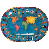
- Kids and Teens
Books
Makerspace
Games & Puppets
Classroom Supplies
- Audio Visual
AV Packaging
Audio Visual Furniture
AV Equipment
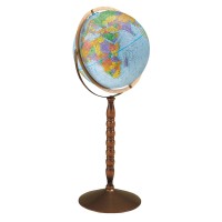
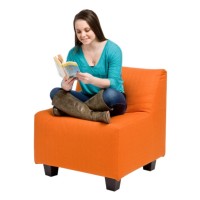
- Furniture
Library Furniture
Boards & Easels
Desks & Tables
Teen World
Office Furniture
Seating
Kids Furniture
- Display
- Library Supplies